Aerial view of a subdivision project.

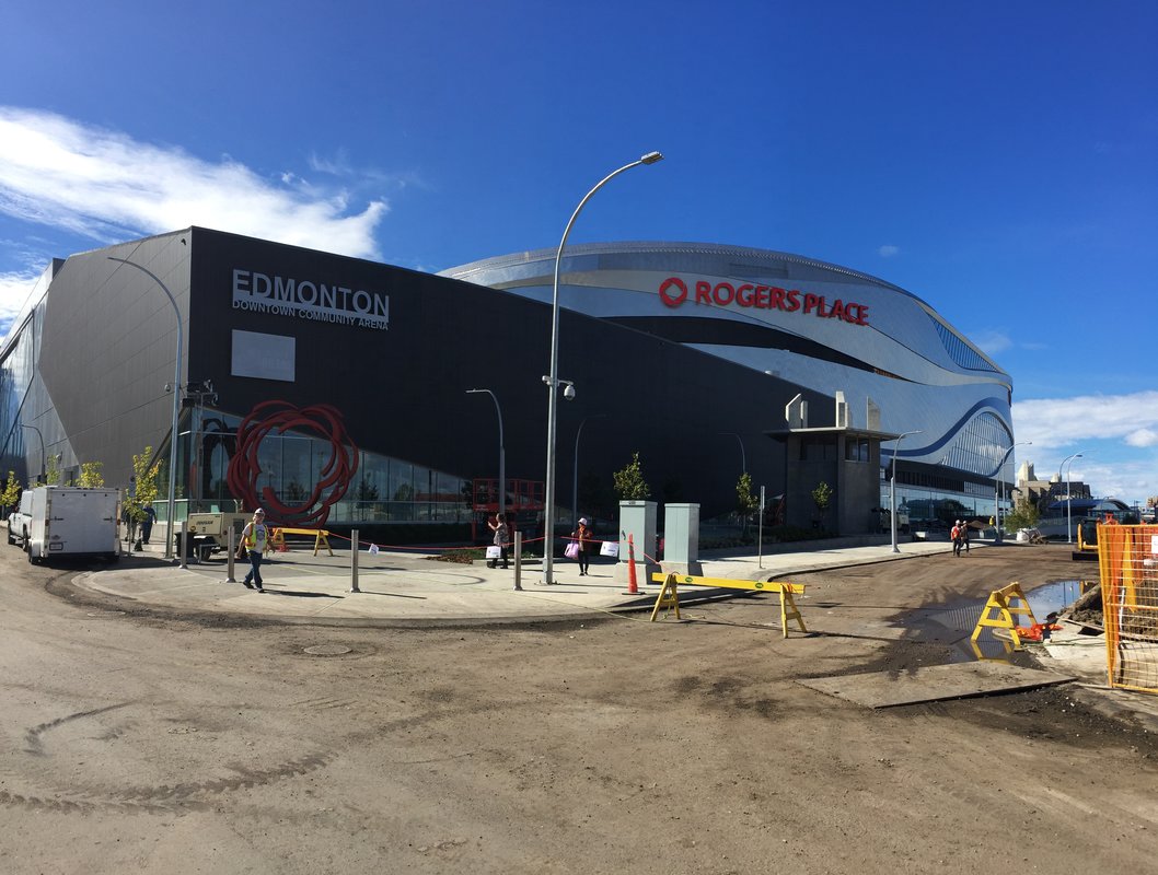
If you are planning to subdivide land, one of the first things you should do is consider hiring an Alberta land surveyor. While you are allowed to submit an application to the City of Edmonton yourself, surveyors can help keep your application on track because they have an understanding of city bylaws and regulations to help your application get processed efficiently.

What is Subdivision?

If you own one piece of land and you want to create two or more parcels with their own legal titles, you must apply for subdivision.

Why Should I Subdivide My Property?

Rural properties

It can be very difficult to sell a quarter section of land–it is much easier to section off a small area to sell for housing or other developments and rent the rest out to farming.

If you want to give land to your children, you will need to section off a part of your land as municipal bylaws may limit the number of residential structures you can build on a single land title.

Six Step Process

While subdividing land can be a complicated process, it generally follows these six steps.

  1. Apply for subdivision. This can be you or a surveyor.
  2. Receive conditional approval. This can include all taxes paid to date, a site plan of the property in its current state and include any approaches or any future road widenings.
  3. Surveyor surveys the subdivision and creates either a descriptive plan or a subdivision plan,
  4. The survey plan and paperwork goes back to you for approval and signatures.
  5. The survey plan and paperwork is submitted to the subdivision authority for approval.
  6. Once approved, the surveyor submits the survey plan and paperwork to the land titles office.

Why Use a Surveyor?

Understand the Challenges of Your Land

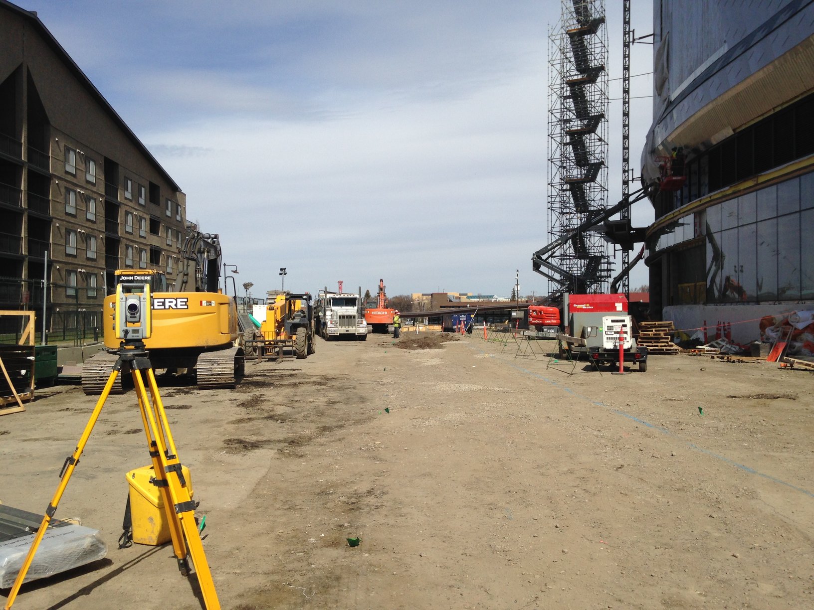
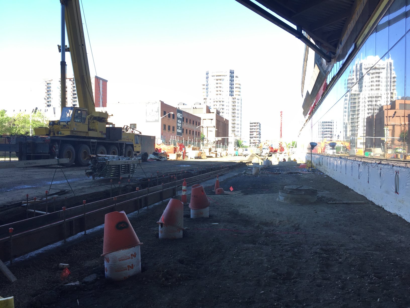
An experienced surveyor can help you subdivide your land efficiently and guide you on how to get the subdivision authority’s initial approval. Surveyors can also let you know if the land you are subdividing is complex and will require more time. Subdivision becomes even more complex if your land has a body of water on it. By hiring a surveyor at the start of your subdivision process, they will help you fully understand the challenges of your land.

Subdivision Applications Take Time

Once you submit your application to the City of Edmonton, it can take up to nine weeks to get approval; the more complete and accurate your application is, the faster it can be processed. This is where surveyors come in—they can ensure your application meets all zoning bylaws and regulations and they can help you with a rezoning application if your subdivision application is not compliant.

Get Faster Approvals in Winter

To speed up the process, start your application during winter. By starting in the off season, you can shorten your wait times for conditional approvals and consents as municipalities see fewer subdivision applications during this time of year. If you are planning to sell your land in the spring, subdividing it during winter ensures you are ready when the snow melts and can get a head start.

Be Ready to Submit Additional Documents

In some cases, the subdivision authority may require a Real Property Report or a site plan be done to show where existing buildings, right of ways, and sewer facilities are located and their setback distances to the new boundaries. If needed, surveyors can help you with boundary surveys, environmental assessments, topographic surveys, right of way surveys, and more.

Your Approval May Come With Conditions

Once your application is reviewed by the subdivision authority, they may request changes to your application, which are called conditions. These can be anything from setting aside enough municipal reserve for roadways and utilities or setbacks from existing structures before your application is approved. When your plan is adjusted to meet the authority’s conditions, they will review it again before approving it.

Hire a Surveyor Today

Whether you are splitting a lot into two, or building a condominium complex with hundreds of units, surveyors can help you put your application together. While you can save money by completing the application yourself, surveyors can anticipate issues and they understand municipal bylaws. This knowledge means they can help your application get approved as quickly and efficiently as possible.

LN Land Developments has expert surveyors ready to help you with your subdivision application. Contact us to get started today.

Have a professional surveyor provide you with your compliance certificate.

A compliance certificate is a legal document issued by the City of Edmonton that certifies that all buildings and structures on your property meet the city’s zoning regulations and bylaws, and that they have the appropriate development permit. If there is any part of your property that is not compliant with zoning bylaws, or does not have the appropriate permits, the city will let you know what is wrong and what actions are available to you.

Compliance Certificates Serve Many Purposes

There are many reasons to get a compliance certificate. One of the most important reasons is the ability to successfully sell your property. While there is no legal requirement for you to have one, buyers, lawyers, lending institutions, and others will request a copy of it. Without it, they can delay or deny the sale of your property.

There are many other reasons to apply for a certificate. If someone wants to challenge the legality of your property, the compliance certificate will protect you because it proves your property was independently surveyed and reviewed by a city development officer.

Apply Online for Compliance Certificate

If you applied for a compliance certificate in the past, you probably submitted a paper application. The City of Edmonton recently made changes to this process and made it easy to submit your application online. Once your application is received, the city will work with your surveyor to obtain the appropriate documents like a Real Property Report, which is a requirement for your application.

Once the city has reviewed your request, a compliance letter will be emailed to you letting you know if your property and the buildings within your property comply, or if there are changes that need to be made.

Real Property Reports will no longer be “stamped” with approval from the city. Each Real Property Report, compliant or not, will come with a compliance letter.

If you prefer applying for the certificate the old fashioned way, the city continues to accept applications by mail. Simply print a copy of the paper form and return it to the Sustainable Development office. Unlike the online application, you must include two original copies of your Real Property Report and the land titles certificate as the city will not contact the surveyor on your behalf in this case. Once completed, the city will either call you for pickup of the documents or mail them out to you.

Don’t Forget to Get a Real Property Report

Definition

A Real Property Report is a legal document that shows accurate locations and dimensions of improvements, such as buildings, and their relationship to the property’s boundaries. Real Property Reports can also show the location of any rights-of-way or encroachments that may affect the subject’s property.

Benefits

Real Property Reports protect your investment. They are a transparent document that shows you the exact condition of the property which can help protect you from certain legal liabilities.

Only Surveyors Can Help You Prepare Real Property Report

Registered Alberta Land Surveyors are the only individuals who can legally prepare Real Property Reports. A valid Real Property Report must bear the original signature and permit stamp of the Alberta Land Surveyor. The City of Edmonton requires that all Real Property Reports be completed by an independent Alberta land surveyor.

Helpful Information Comes With Your Certificate

When the City of Edmonton issues a compliance certificate, you now receive easy-to-read information about how to make any non-conforming parts of your property compliant with city bylaws and regulations. This can be especially useful when you are applying for different city permits or establishing a fair value for your property.

Compliance Certificates Cost a Nominal Fee

Fees for compliance costs can add up depending on how quickly you want your certificate and whether you need it for a residential or commercial property. If you need a compliance certificate within three days, you must fill out the Additional Fees for Express Compliance form. Otherwise, it can take up to 10 business days for your compliance certificate to be processed.

Getting a compliance certificate is easy with the help of LN’s team. They can create the Real Property Report you need for your compliance certificate application and help you through the application process. For more information about costs, contact us to get started or visit our residential estimates page for more details.

rsz_feature_photo

As one of our city’s newest crown jewels, Rogers Place promises to transform Edmonton’s downtown into an entertainment hub to last for years to come. The new home of the Edmonton Oilers and the Edmonton Oil Kings will also play host to many world-class sporting events and music’s biggest stars.

rsz_photo_slot_1

The Challenge

Redeveloping 25 acres of land in the heart of downtown Edmonton was no easy task because of the aging infrastructure that is already in place. Adding a 20,000 seat arena along with all many other amenities such as hotels, office towers, and a new casino threatened to put pressure on the existing infrastructure that was built many years ago.

Locating Underground Utilities

To meet the challenge, LN located underground utilities such as lines for storm drains and water and wastewater pipes.This work allowed for reverse engineering that could connect the new facilities with the old. It also identified existing utilities that needed to be replaced in order to meet the pressure that tens of thousands of hockey fans, music fans, office workers and new residents will place on area’s infrastructure.

Keeping Safety Top of Mind

Surveying the existing underground utilities (also known as “As-built utilities” improved the ease of underground drilling. This allowed LN and others involved with the project to put together a safe plan to reduce the risk of damaging other utilities. Hydro excavation was then used as it is a non-destructive process that uses pressurized water and an industrial strength vacuum to safely remove soil around a utility.

To show its commitment to safety, LN is part of the Alberta Construction Safety Association (ACSA). This organization, which was established in 1975, encourages a culture of safety in the construction industry. In order to prequalify for projects such as Rogers Place, LN must track all of its safety information. The ACSA gives it a score and LN must work to maintain this score. Some of the programs include:

Comply Works
ISNetworld
Canqual
Avetta/Pics

Vehicle and Pedestrian Capacity

Not only was LN involved with surveying underground utilities, they were responsible for surveying above ground infrastructure. Just like the utilities underground, the tens of thousands of people who will be living and playing in the area will put pressure on the area’s roads and sidewalks. Because existing infrastructure would simply not meet the demands of more people, LN helped survey roads and walkways so they could be widened and upgraded to handle increased vehicle and pedestrian traffic.

rsz_photo_slot_2 (1)

The Work Keeps on Going

While the arena is fully built, the work does not stop there. There are many other developments that will benefit from the work LN did in the early days of construction.

Grand Villa Casino (opened September 2016)
Oilers Entertainment Group offices (opened September 2016)
Edmonton Office Tower (November 2016)
JW Marriott Hotel (summer 2018)
Stantec office tower and Stantec tower retail podium (fall 2018)
Legends residential tower (spring 2019)
Stantec residential units (summer 2019)

As Edmonton’s entertainment hub continues to grow, LN is proud to have been part of the team that ensured the area has the necessary infrastructure for years to come.


How 3D laser scanning is changing surveying

3D laser scanning is transforming the way surveying is done, so it’s worth getting to know this popular new technology.

Whether you need to survey a complex structure, perform a non-contact inspection, manage a stockpile, or collect precise data on a construction site, 3D laser scanning could save you time and effort compared to traditional surveying techniques.

What is 3D Laser Scanning?

3D laser scanning is is a non-contact, non-destructive technology that uses a line of laser light to digitally capture the shape of physical objects.

As the laser passes over an object, it creates a data point every few millimeters. These data points are collected into a “point cloud” and used to create a 3D model of the object (this could be a CAD model or a different kind of image depending your needs).

Because data is sampled every few millimeters, the resulting image is extremely precise and accurate. Here’s an example of a visual representation of a point cloud dataset:

3D laser scanning point cloud of a walkway project

This image of a walkway was created using 3D laser scanning.

Advantages of 3D Laser Scanning

There are 3 key benefits to using 3D laser scanning instead of traditional surveying methods.

Time:

Laser scanning takes a lot less time than more labour-intensive manual scanning. Depending on the project, laser scanning can also take less time than conventional surveying. With greater accuracy and more information, it may be a better option for some clients.

A 3D laser scanner can gather around 750,000 data points per second.

Since it’s so easy to collect data, surveyors can store extra information about the surrounding area and avoid having to make return site visits.

Impact:

Laser scanning is non-contact, meaning it’s possible to survey dangerous or unstable areas from a safe distance. The Faro system used by LN can provide full scanning services from 330m away.

Laser systems can also be used for precise surveys of congested or traffic heavy areas for pre-engineering analysis.

Detail:

Laser scanners pick up an incredible amount of data. Coupled with the right software, it is possible to create extremely precise and accurate visual representations of buildings, objects, or sites in order to guide development decisions.

Once you add UAVs (unmanned aerial vehicles or drones) into the picture, the sky really is the limit.

By combining 3D laser scanning with aerial surveys, it is possible to create precise, easily-accessible models of sites that could never have been captured by traditional surveying methods.

3D Laser Scanning and BIM

Building Information Modeling (BIM) is the digital representation of the physical and functional characteristics of a building or facility. BMI files can be read on computers and are used during the planning, design, construction, operation and maintenance of buildings and infrastructure.

The data from 3D laser scanning can easily be used for BIM, even in complex or historic sites with a lot of detail or small parts. Using traditional methods, it was often difficult and time-consuming to accurately survey the intricate features of old buildings. Laser scanning eliminates that problem.

Ready to Get Started?

3D laser scanning is just one example of the state-of-the-art equipment and sophisticated technology used by LN.

If you’re looking for a fast, accurate way to survey complex sites, we’d be happy to advise you on the best options for your budget and timeline. Get in touch by email, or call us on 780.488.9064 to find out more.

residential-final-grading-1

If you are are developing or re-landscaping your property, or if you have recently purchased a new detached or semi-detached home, you may need a final grading certificate.

New regulations mean that all lot grading certificates must be carried out by professional land surveyors. As of August 2016 the new rules only apply in the City of Edmonton, but we expect them to come into effect more widely by the end of the year.

Read on to find out how these changes will affect homeowners.

New Lot Grading Certificate Regulations

As of August 15, 2016, the City of Edmonton will only accept Lot Grading Certificates from members of the Alberta Land Surveyors’ Association (ALSA).

Previously, certificates created by members of the Association of Professional Engineers and Geoscientists of Alberta (APEGA) were also accepted.

So why the change?

According to building regulations, “A lot grading certificate must show information such as structures, or common swales on a parcel of land relative to a property line or boundary.”
Rhonda Toohey, Acting Chief Planner, City of Edmonton

A professional Surveyor is able to relate topographical and drainage information to property lines and boundaries.

What Is Lot Grading?

Lot grading is an important part of renovations, landscaping, and new home construction. It protects against flooding and property damage by providing good drainage away from homes and nearby buildings.

It is the responsibility of homeowners to maintain the grading of their property, and many municipalities (including the City of Edmonton) require lot grading certificates to prove grading has been properly carried out and maintained.

A Land Surveyor Will Provide a Final Grading Certificate

Lot grading certificates are legal documents prepared by Alberta Land Surveyors. Here is the complete list of lot grading certificate requirements, and see an example of an LN lot grading certificate here.

Rough grading certificates (obtained by the home builder) prove that new homes have been built in compliance with municipal bylaws and that there is no risk of drainage issues.

Final grading certificates are the responsibility of the homeowner. They are usually obtained a year after the rough certificate has been provided, and prove that landscaping and/or renovations have not interfered with the original lot grading. For more information, check out the City of Edmonton’s guide to lot grading at the final stage.

Final grading certificates must always be provided by a professional land surveyor. Inspections are carried out under the guidance of the Alberta Land Surveyors’ Association and use strict procedures and protocols that match municipal requirements.

Need A Lot Grading Certificate?

LN has helped hundreds of Albertan homeowners with residential surveys, final lot grade certificates, and lot grade design and management.

Whether you are thinking of building your own custom home or starting a home rebuilding process, we can help. Get in touch by email, or call us on 780.488.9064 to get started.

LN Land Surveying Team on the Job

Are you looking for a great surveying job in Edmonton, Fort McMurray, Red Deer or Vancouver? From surveyors and CAD technicians to engineers and surveying project managers, we’re always on the look-out for knowledgeable, passionate people to join our team.

Now, you probably have a few options when it comes to choosing a job. So why should you work with us? The short answer is simple. We love working here, and we think you will too.

Need another reason? We’ll give you 5!

1. We’re one of Alberta’s fastest growing land survey companies.

LN offers a complete range of surveying and land services for residential, commercial, and industrial projects in Alberta and British Columbia. We’ve completed thousands of jobs and had the opportunity to work on some pretty cool projects.

For example, we provided all of the underground locates and utility surveying for Edmonton’s ICE District, one of the most advanced sports and entertainment venues in North America.

We’ve worked over 350,000 hours since 2007 and driven more than 2.5M km. Ready to join us? Browse our job openings.

2. Your career will be in great hands.

We believe in going above and beyond to meet the expectations of our employees as well as our customers.

As part of our extensive training program, you’ll be entitled to:

If there is something specific you’d like to learn in order to bring get your career to the next level, we’ll support you through education upgrades and certification.

We promote from within whenever possible, and have a natural system of progression and advancement within the team.

3. You’ll get to work with the latest surveying technology.

From 3D laser scanning and remote surveys to identifying trends in the use of UAVs (unmanned aerial vehicles, or drones), LN is at the cutting edge of advances in surveying technology.

We also work with new technologies in the oil and gas industry. Recently, we helped in the development of a brand new, environmentally-friendly extraction method in the Hangingstone Expansion of the Japan Canada Oilsands site.

4. You’ll make a difference in your community.

Since we started back in 2007 we’ve been dedicated to improving the economy, one day at a time. From helping families build their dream homes to keeping the oil patch profitable, surveyors have a huge impact on local communities.

As a Fort McMurray startup company, we’re proud to be helping For Mac residents rebuild their homes after the devastating wildfires of 2016.

We’ve also been asked by the Municipality of Wood Buffalo to survey existing structures and facilities in Abasand, Timberlea, and Saprae Creek.

5. We have an award-winning safety record.

In Canada alone, 1 or 2 people are killed every week while working in the construction and oil and gas industries.

We’re dedicated to improving that record by not only by making health and safety our top priority, but by spreading awareness about workplace safety and promoting change across the sector.

Since 2007, we’ve worked over 350,000 hours. In that time we’ve had 0 need for medical aid and 0 fatalities.

Apply to Work at LN

There are two keys to enjoying a successful career at LN: knowledge and passion. If you think you’d be a good fit with our team, we’d love to hear from you.

Browse our current job openings, check us out on Facebook, get in touch by email, or call us at 780.488.9064 to find out more.

How to accurately measure your stockpiles to avoid shrinkage.

Whether you’re selling gravel, topsoil, coal, or rip-rap, accurately measuring and tracking stockpile levels is a challenge in the construction and oil and gas industries.

Sophisticated new technology makes it easier and faster to determine the volume of material stockpiles. Depending on your budget and the level of precision your project needs, you’ve got a few options when it comes to choosing a volume measuring survey.

Why Survey Your Stockpile?

A good stockpile survey will produce accurate volume calculations so you can make sure you are paid fair value for the quantities you have.

As your stockpile shrinks over time, follow-up surveys guarantee that you are working with the most up-to-date estimates of remaining stock.

GPS Surveys

A typical GPS survey is a topographical ground survey used to provide stockpile volumes. Surveyors use GPS points to measure the tops and toes of a stockpile and any changes in grade, then use this data to create a 3D model of the stockpile and estimate volume.

Pros – Less expensive, can be performed in any weather conditions.

Cons – Can be less accurate than other surveying techniques, can be time consuming if the survey needs to cover a large area.

Aerial UAV

Unmanned aerial vehicles (UAV), also known as drones, are gaining popularity in the surveying field.

Aerial photography captures detailed imagery and is used to create accurate maps for stockpile volume estimation. Infrared aerial photography is used to calculate the volume of earth or minerals in a specific area.

3D laser scanning can also be used to measure fine details and capture free-form shapes. Data output is in the form of point clouds—set of data points intended to represent the external surface of an object. The data then needs to be turned into a visual picture.

Whereas some companies only provide point cloud data files, LN always provides a visual image that can be easily shared and understood.

Visual representation of a point cloud dataset used in surveying.

A visual representation of a point cloud dataset.

Pros – More accurate: aerial UAV flights can give you tighter and more accurate volumes due to 1cm grids. Efficient when covering large area.

Cons – The use of cutting-edge technology means UAV surveys are typically more expensive than GPS surveys. Drones are subject to government regulations and permitting.

Total Station/Scan

If GPS surveys are not accurate enough and UAV flights are too expensive then a total station/scan may be your best option. These surveys use the same techniques as the UAV surveys described above, but without the drones.

Pros – Less expensive than UAV scans because not subject to government regulations and equipment costs associated with drones. Remote surveys can be safer for surveyors.

Cons – Typically more expensive than ground surveys.

Manage Shrinking Stockpiles

Whatever your stockpile looks like in the field, you’ve got to be able to represent it accurately in the office. Whether you are adding or taking away material, the volume of your stockpiles will change over time. There are a few ways to manage and accurately track stockpile quantities:

Ready to Get Started?

LN uses state-of-the-art equipment and sophisticated technology to make sure stockpile volumes are estimated accurately and efficiently.

With years of experience in the geomatics industry, we can advise on the best options for your budget and timeline. Get in touch by email, or call us on 780.488.9064 to find out more.

measureable-ways-to-improve-workplace-safety-alt

In 2014, in Alberta alone, 69 individuals were killed on the job in the construction industry, and 15 were killed in the mining, quarrying and oil wells sector. That means 1 or 2 people die every week in these industries.

We have to do better.

As a land surveying company, we work closely with construction teams and energy companies all over the province. Today’s post is about sharing best practice so we can work together to see measurable improvements in workplace safety.

Workplace Safety Best Practice 1: Lead From the Top

Everyone has heard a story about a young construction worker who speaks up about a safety issue and saves the day—or possibly a cautionary tale about someone who doesn’t. Not only do your employees need to notice safety issues, but they need to feel 100% comfortable reporting them.

From the very highest levels of management to the most junior contractors, everyone is responsible for safety. A safe organization is one where accountability and pro-activity are valued.

The number one way you can achieve workplace safety is by instilling open communication and a safety-focused culture throughout your organization.

Workplace Safety Best Practice 2: Actions You Can Take Today

We know these tips work because they have helped us to maintain LN’s great safety record. And that’s something we are very proud of.

Workplace Safety Best Practice 3: Hire Contractors that Put Safety First

Workplace safety isn’t just important for your own teams.

Disregard for safety is one the four warning signs of a bad surveying company—and it is the only one that could be a matter of life or death.

Checking up on a company’s safety record doesn’t have to be difficult or time consuming. From Certificates of Recognition to the new Alberta Occupational Health database, you can use this handy guide to make sure you pick a safe surveying contractor.

Ready to Get Started?

Members of the LN team have logged over 350,000 hours of work—across construction sites, the energy sector, and industrial-scale projects—with zero fatalities and zero need for medical aid.

If you are looking for a contractor that takes safety as seriously as you do, we’d love to hear from you. Request a quote, get in touch by email, or call us at 780.488.9064.

How a surveyor can help rebuild your home in Fort McMurray

Slowly but surely, the rebuilding process is getting under way in Fort McMurray.

LN is proud to be part of this effort, and we want to make sure that residents have all the information and support that they need.

A rebuild doesn’t have to be the long and stressful process some communities experienced after the wildfires in Slave Lake, and working with a land surveyor will get your new home off to right start. Here’s how we can help:

Development Permits

Whether a home needs repairs or a complete rebuild, the Regional Municipality of Wood Buffalo requires homeowners to get an approved development permit before they can proceed.

Read our in-depth guide to development permits and find out how to apply.

Site Plan/Plot Plan

The main requirement for obtaining a development permit is a site plan (also called a plot plan) created by an Alberta Land Surveyor.

A site plan is a detailed survey showing exactly where everything is located on a property. It includes easements, rights of way, property lines, and the locations of any existing structures that remain (walkways, garages, etc.)

Underground Locates

In addition to a site plan, your property might need wellsite information or an underground survey to make sure you won’t come in contact with pipes or cables during construction.

A good rule of thumb is to “call before you dig,” so if you’re unsure about your needs please get in touch and we’ll make sure you’re covered.

Property Lines

A rebuild is a good opportunity to make sure you know the official boundaries of your property. The last thing you want to do is rebuild a home or a fence only to find out it’s on land that doesn’t belong to you. A survey could also reveal some extra building room you didn’t realize you had!

Building Considerations

Prior to construction, LN can send a crew to your lot to layout the new building location.

If you are thinking of rebuilding your own home you might find this guide to building a home useful. You may also want to consider fire-resistant features during your rebuild.

When it comes to choosing a reputable builder, new amendments to the New Home Buyer Protection Act require builders to register online and are meant to protect Wood Buffalo residents as they rebuild.

Grading Certificates

Lot grading refers to the creation of slopes and other features to ensure proper drainage away from a property. It is an important part of home construction, especially if your property is in a flood-prone area.

There are two stages of lot grading approval:

  1. A rough grading certificate is provided by the homebuilder.
  2. Homeowners are responsible for obtaining a final grading certificate from a registered land surveyor.

Read our in-depth guide to grading certificates in Alberta.

Real Property Reports

After construction is complete, a registered land surveyor can provide new homeowners with a Real Property Report. These legal documents outline property boundaries, highlight improvements made during construction, and provide clear, easy to understand property valuations. They are very useful if you are planning on selling your home.

Ready to Get Started?

LN has helped hundreds of Albertan residents to renovate and build their homes, and we are up to date with the latest municipal and provincial requirements

You can reach our Fort Mac Team––Mike, Rebecca and MaryBeth––at the Fort McMurray office, by email (info@lnldt.ca), or at 780.791.0075. They are ready to help you through every step of the rebuild process!

Construction starting in Fort McMurray after the May 2016 wildfires

A few weeks ago we welcomed our Fort McMurray team in Edmonton as they fled the wildfire that destroyed over 1,600 homes in Northern Alberta. This week they are back in Fort Mac, on the ground, and proud to be part of the rebuilding process.

Whether a home need to be completely rebuilt or just requires repairs, the Regional Municipality of Wood Buffalo (RMWB) requires homeowners to get an approved development permit before they can proceed.

Not sure where to start? Don’t worry, we’re here to help!

What You’ll Need to Obtain a Development Permit

The RMWB requires five items in order to issue a development permit, and the application process takes place online.

Note: Abandoned well site information is only required if the new structure is larger than 47 square metres (505.904 sq feet) and if the development is outside of the urban service area. LN can easily include a well site survey in an overall plot plan if necessary.

What’s Covered by a Site Plan

A plot plan or site plan is a detailed survey that shows exactly where everything on a property is located. Here’s an example of a completed plot plan so you know what you can expect.

If your home has been damaged or destroyed by the fires, LN will send a survey crew to your lot to perform an initial site survey and determine property boundaries, easements, right of ways, and all existing structures that remain (including fence lines, driveways, walkways, decks, sheds, garages, etc.).

We will then draft up a site plan to provide all the necessary information for permit approval from the RMWB.

As part of our site survey we obtain your Certificate of Title, so we can easily pass this on along with your completed site plan.

Next Steps & Additional Service

Prior to construction, we’ll send a crew back out to the site in order to layout the new building location, property lines of the lot, and elevation benchmarks for the builder.

Depending on your needs, the following optional services that can be provided in conjunction with a plot plan:

Ready to Go?

If you need to rebuild your home in Fort Mac, you’ve already been through a lot. We’re here to make sure the rebuilding process is as quick and easy as possible, so Northern Alberta can get back on its feet and you can get back to normal life with your loved ones.

If you are ready to start the rebuilding process get in touch with our Fort Mac team––Mike, Rebecca, and Marybeth––at the office, by email (info@lnldt.ca), or at 780.791.0075. They are excited to be back and looking forward to hearing from you!

PRIVACY POLICY   |   © 2025 LNLDT. ALL RIGHTS RESERVED