Boundary Surveys
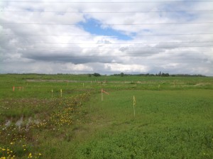
Boundary surveys ensure a landowner’s interests in land are adhered to. Marking your property boundaries is essential to anyone or any company who owns or manages land to represent what is their property.
This process is an exclusive responsibility of a Land Surveyor. It is a very complex and high specialized activity. Data is taken from many sources, from evidence in the field to plans of survey to help the Land Surveyor determine the location of boundaries. It is crucial that boundaries be determined and marked accurately so it is clear where properties begin and end.
Boundary Surveys are used to:
Residential
- Lot Development
- Pre-Construction/Expansion
- Future Planning
- Fence Construction or Re-Construction
- Deck Construction
- Landscaping
Commerical/Industrial
- Lot Development
- Future Planning
- Redevelopment
- Pre-Construction/Expansion
- Fence Construction or Re-Construction
- Landscaping
Energy
- Disposition Extents
- Future Planning
- Plant Expansions
- Mining Development/Expansions
- Well Pad Development/ Expansions
- Road/Access Development/ Expansions
Boundary surveys tell a complete story of the interests included in a parcel of land so future development can proceed safely and within local compliance guidelines.


