We are extremely proud to be a Certified Aboriginal Member Owned Business and a supporter of the Canadian Council for Aboriginal Business (CCAB). Our Membership solidifies our long-standing commitment to developing relationships that create tangible, positive opportunities for Aboriginal businesses, groups and communities across Canada.

The concept of “Land Surveying” is quite broad as a result it includes a whole range of different activities to study the composition of land, establishing property boundaries, organization and planning of the rational use of land resources, to conduct legal, economic, organizational, economic, engineering, environmental and social activities.

What is Land Surveying?

The main task of Land Survey is to obtain the most complete and accurate information about land plots. This information details the measurement of the land in meters and shows the distances between the various point on a land plot. Land Surveyors use surveying tools (traditional and digital technology) to provide information, survey and maps that describe the shape of a lands surface feature.

Over the years, Land Surveying has become more efficient with the introduction of new technology in the Land Surveying field.  Gadgets such as 3D Laser scanner, Drones/Unmanned aerial vehicles and GPS has simplified Surveying for Surveyors and the users of the end data.

LN land surveyors are ready to help you bring your project together. Simply get in touch by email info@lnldt.ca, or call us at 780.488.9064.

Everything’s perfect. You’ve bought a parcel of land, and you’re ready to hire a business to build your brand new house. Or perhaps you want an office building, a factory, or a farm.

But wait! Prior to any new construction happening — on any type of building, from residential to professional — you should enlist the help of a land surveyor, or be sure that your selected builders have done so. After all, you don’t want to make any costly mistakes when it comes to having construction occur on your land.

What Land Surveying Establishes

As you know, real property reports are an essential tool in determining the potential legal and dangerous pitfalls of building on a piece of land. Land surveying can help determine the property lines, easements and utilities, as well as geographic features that would affect construction.

But there’s more to surveying than establishing a report. To assist architects in construction planning, surveyors can also provide in-depth, precise measurements of the land itself. All of these factors combined help shape the final construction.

Why Land Surveyors Show up to Construction Sites First

Before groundbreaking happens — and sometimes even before architects develop a custom building plan — surveyors take stock of the building site first. In addition to alerting prospective architects to potential legal and utility issues, the land surveyors also provide valuable data in the form of measurements and calculations about the size of the land and geographic features.

The preciseness of this data allows the lead architect to make informed decisions that shape their plans. Having an accurate measure of the land’s natural geographical features can help an architect decide whether to leave those features as is, or terraform them.

But that isn’t all. Land surveyors do more than provide measurements — they also occasionally mark the ground. These markings help provide construction teams with detailed information as well, so they can avoid uncovering utility lines or venting natural gas.

Why You Need Surveys for New Construction

According to Constructionreviewonline.com, land surveying isn’t as simple as it seems. For example, many parcels of land have been split off from larger properties over the course of hundreds of years.

Each time a property is split off from another, it must be re-evaluated. But the tools used by surveyors in the past weren’t as advanced and up to date as our current tools. “With every division, the risk of miscalculation increases,” writes Dennis Ayemba. As a result, surveyors have to dig through multiple reports to eventually arrive at the truth — and prevent people from building on each other’s properties.

If your land hasn’t been surveyed recently, you might discover features you didn’t know about or that the property lines aren’t exactly where you thought they were.

The Takeaway

Getting an updated land survey — using newer tools and abiding by the most recent governmental regulations — is crucial for any new construction’s success.

To learn how LN can support your project with quality information, email INFO@LNLDT.CA or call 780.488.9064.

Real property reports are the lifeblood of the construction industry in Alberta. Not only do property reports outline your property’s boundaries, but they also uncover hidden secrets on your land that could be crucial to future addition, construction or development.

For instance, let’s say you bought purchased a property with the intentions of building a workshop beside the existing house. There’s a lot of things to consider before you develop, such as:

So you see, it’s not as simple as putting shovels in the ground. Let’s take a more in-depth look at why real property reports are necessary for homebuyers, land developers and even real estate agents, and why it’s important to keep our heads out of the sand when we’re considering such an important purchase.


Tells You What You Want to Hear

Before you start spending money on blueprints for that new shop in the backyard, it’s handy to know if you’ll be able to build. A real property report will expose any modifications that could get in the way. If you’re fortunate then you’ll get a free and clear report – there’s nothing standing (or buried) in the way of your ideas.

Real property reports are like doctors giving good news after an exam – they’ll tell you what you want to hear so you can get on with your life.

Hopefully, you get good news, and your property report is free of surprises.


Tells You What You Don’t Want to Hear

But of course, there’s a flip-side to every rule. What if the report tells you what you don’t want to hear? The complete disclosure of a property’s history means complete disclosure – there’s always a chance that a buried pipeline, wire or other structure will get in your way. Plus, there’s nothing worse than discovering you’ve overstepped your boundaries after the fact.

No one wants a dispute with their new neighbours, after all.


Back to the emergency room; no one likes hearing bad news. But remember, just because you don’t know about a problem doesn’t mean that a problem doesn’t exist.


What do Real Property Reports Let Me Do?

Let’s back up for a second. Say you’re thinking of buying property, maybe an empty lot or a new, finished house. Real property reports let you know which permits and approvals you need or what is still required. Just because you aren’t aware of violations doesn’t mean they don’t exist. Boundary issues or other problems could be part of the reason the land was put up for sale in the first place.

“Real property reports help you design your property, seek final grading certificates, and they assist in the process of staking out your lot before you build a house.

Plot plans, shallow underground surveys, development surveys – all of these reports can contribute to a real property report.


Saving Time, Money & Effort in the Future

There’s no question; a real property report can be the difference between buying property and walking away. Sure, it’s an added expense, but can you justify not spending the money against potential issues that might come up in the future?

Just like getting a home inspection, reports can burst the bubble of a potential buyer quicker than you can say ground penetrating radar. But uncovering your property’s secrets is worth it in the long run.

And hey, maybe you’ll find nothing, and you can go ahead with all your plans and ideas. The key is that you know – you’re fully aware of every inch of your property, both the details you can see and those you can’t.

by Marie Cusack


Land surveying and geomatics engineering are similar but different jobs in the field of land management. Know the difference so you can confidently hire the right expert for your project.

Basically, you need a land surveyor for any type of legal land survey. You need a geomatics engineer for anything else that uses technology and involves a physical location.

Both jobs start with the same education: either a university degree in geomatics engineering or a technical school diploma in geomatics technology. In Alberta, the University of Calgary, NAIT, SAIT and Lethbridge College offer these programs.

Land Surveyors

Graduates wishing to become land surveyors get their education certified by a national board. Sometimes, this means more training. They must also article for two years under a licensed Alberta Land Surveyor or ALS for short. Finally and if their application is accepted, the Alberta Land Surveyors’ Association certifies them as an ALS.

Land surveyors, geomatics engineers, survey technologists, geomatics technologists and design technicians work together on a project to operate the instruments, collect and interpret the data, and prepare the documents.

However, only a land surveyor (ALS) can validate legal land survey documents. Having a land surveyor sign and stamp the documents builds trust all information is accurate and legally compliant.

Legal land survey documents may include:

  1. real property reports
  2. subdivision survey plans
  3. right-of-way survey plans
  4. wellsite plans
  5. cadastral (or boundary) surveys


Geomatics Engineer

Geomatics engineers or technologists are experts in high-tech equipment, advanced computer software and measurement sciences. They collect data to do spatial visualization for understanding the physical map or layout of a project.

Geomatic engineering documents may include:

  1. volume measurement surveys
  2. 3D laser scanning and modelling
  3. concrete scanning and modelling
  4. high precision deformation and monitoring surveys
  5. integrity surveys
  6. virtual terrain modelling

Some geomatics engineers continue on to become professional engineers or P.Eng. for short. To do this, university engineering graduates article under a licenced professional engineer for four years, then write a national exam. If their application is accepted, the Association of Professional Engineers, Geologists and Geophysicists of Alberta will certify them as a P.Eng.

Although not needed legally, a professional engineer’s signature and the engineering company’s permit stamp builds trust the document is accurate and complies with engineering principles and provincial codes.

Professional engineering construction survey documents may include:

  1. construction as-built drawings
  2. site grading survey plans


LN Land Development Technologies Has Skilled Land Surveyors, Geomatics Engineers and other experts

LN  is a skilled and progressive company, with licences to practise both land surveying and engineering in Alberta. LN has all expertise your project will need no matter whether it is legal land surveying, construction surveying or geomatics engineering.

Its experienced employees include land surveyors, professional engineers, geomatics engineers, survey technologists, geomatics technologists and design technicians—all with outstanding credentials and in-depth knowledge of the industry.

To learn how LN can support your project with qualified experts, email INFO@LNLDT.CA or call 780.488.9064.

The field of land surveying is rapidly changing and surveying companies must keep up-to-date with the latest tools and technologies. Going high-tech is the best way to deliver trustworthy results to decision-makers in land management, real estate, energy, forestry and agriculture. These project managers in business, industry and government need the best available information to plan, design, construct and maintain buildings, infrastructure and land development projects.

The Benefits of High-Tech

With pressure to do more with less, surveyors can no longer depend on only traditional survey tools to deliver their bread-and-butter service –precise and accurate information. They must also deploy high-tech survey tools and advanced technologies.

As a bonus to decision-makers, these new innovations save time and money in areas such as:

Drones used for surveying

High-Tech Tools

The basics of land surveying will never change, but adding sophisticated equipment like 3D LASER SCANNERS and DRONES to the traditional toolbox takes the surveying profession to higher levels of service.

3D LASER SCANNERS

State-of-the-art survey equipment like the Faros 3D Scanner or Trimbles 3D Scanner can create a 3D virtual model of any object or place. Beams of laser light move around the entire surface, creating a digital point cloud of data on the computer. Leading-edge software later interprets this data to help clients in areas such as:

DRONES

Drones, properly called unmanned aerial vehicles or UAVs, have become a standard tool for many land surveyors. They are used at all stages of survey projects in construction, energy, mining, agriculture, forestry and real estate. Whether the information need is for the planning, development or maintenance of a project, drones are impressive data collection devices that can do such things as:

Visual representation of a point cloud dataset used in surveying.

Advanced Technologies

Along with using high-tech equipment is the need for interpreting the enormous quantities of data it generates. For this, advanced computing software is critical to making sense of the complex information with such applications as mapping software and GIS modeling.

MAPPING SOFTWARE

Point cloud data files created by the 3D LASER SCANNERS are analyzed by computer software like FARO SCENE or TRIMBLE REALWORKSand transformed into full-colour 3D virtual models.

Depending on the decision-maker’s information need, the data can be further processed with various other computer software programs like:

GIS MODELING

GEOGRAPHIC INFORMATION SYSTEM, OR GIS as it’s commonly called, is a powerful computer application that transforms geospatial data into visual models for easy analysis and decision-making. Geospatial data refers to any information with a physical location having latitude, longitude and elevation coordinates.  Data may come from many surveying sources including aerial photographs taken by drones, ground penetrating radar, remote sensing, traditional surveys and mapping, and GPS.

GIS, part of a larger field of study called geomatics, is mainly used to make land development decisions. An energy company, for example, could use GIS to evaluate the best location for a new facility. GIS models can be used for other purposes such as:

LN LAND DEVELOPMENT TECHNOLOGIES IS SKILLED IN HIGH-TECH SURVEYING

The surveying specialists at LN Land Development Technologies are skilled in not only traditional land surveying techniques but also high-tech specialty survey services such as 3D laser scanning, aerial surveys by drones, mapping, GIS modeling and more.

LN takes pride in being a skilled and progressive land survey and engineering company with in-depth knowledge of the industry’s most advanced equipment and software.

To learn how LN can support your project with quality information, email INFO@LNLDT.CA or call 780.488.9064.


LN is excited and proud to welcome the new addition to our team; The LN Lacombe Office.

Address: Suite 306, 5033 52 Street, Lacombe T4L 2A6

Get In Touch Now: (403) 782-5358

LN Land takes great pleasure in announcing that New West Geomatics is now associated with our firm. Our new team members have the combined experience of over 30 years in many areas within the Geomatics profession. Always ready to help with any project, our Lacombe office regularly works with Municipalities, private landowners, land developers, lawyers, and realtors.

How 3D laser scanning is changing the surveying industry.

LN Lacombe has experience working in:

Not only will our staff and management remain the same, we will also work hard to continue our commitment to providing the same excellent service. We are proud of our diverse qualifications, experience and our in-depth knowledge of the industry. Our employees, throughout all locations, work as a cohesive group to help each job run as smoothly as possible. The relationships we build with our clients will always remain our highest priority.

Should you have any questions about our newest location, please feel free to contact us at https://www.lnldt.ca/locations/lacombe

Don’t forget to check out our other locations; Edmonton and Fort McMurray. Land Surveying Across Alberta.


Before you put a shovel in the ground and start construction on a project, you’ll need a development permit. The development permit outlines how you intend to use your property and lets the municipality know where any buildings and structures are located. Development permits are required for new construction, renovations, businesses, and changes of use to existing buildings. Whether you are building a small playground, expanding your parking lot, building a condominium tower, or growing an operations yard for an oil and gas business, you will require a surveyed site plan with your development application.

Why You Need A Site Plan

The site plan shows what you intend to do and lets the city know your project is in compliance with zoning bylaws and other regulations. Without it, your application can be denied and you will not be able to proceed with applying for a building permit. Building permits allow you to begin construction and they are only granted if you have a development permit first.
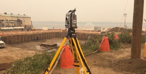
It usually take surveyors 2-3 weeks to complete a site plan. Once completed and submitted to the city/municipality, it can take up to three months for your application to receive approval. Doing the work and researching the requirements for your project is one of the best ways to help yourself be prepared for the application to the City.

Zoning Requirements

The City of Edmonton, just like every municipality, has different types of zoning for different purposes—residential, commercial and industrial—and each type dictates how the land can be used and how dense of a development that can be built on it.

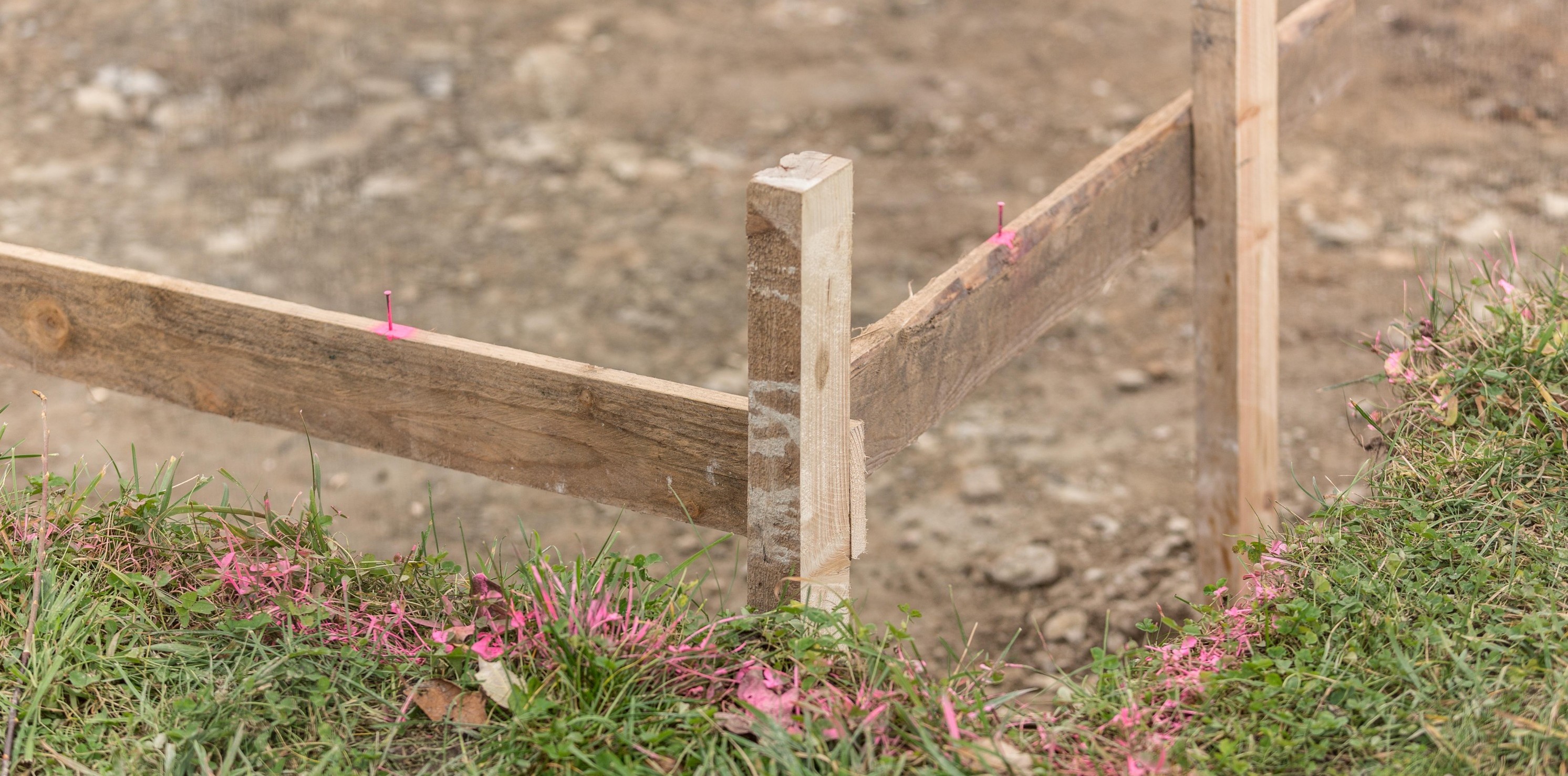
For example, if you’re planning a residential building, zoning requirements may limit where you can build because of a right-of-way such as a road, sidewalk or an underground utility. There may be an easement on your property, which means another individual or company has rights to access a utility on your property in order to maintain it.

If you’re planning a commercial building in a dense downtown neighborhood, zoning bylaws will limit how dense you can make your development–you will not be able to build a high rise on land zoned for a two-storey building. Zoning requirements will also include minimum parking requirements for your building.
It is important to understand how these regulations will affect your development. Surveyors can ensure your site plan conforms to municipal regulations when you are putting together your development application.


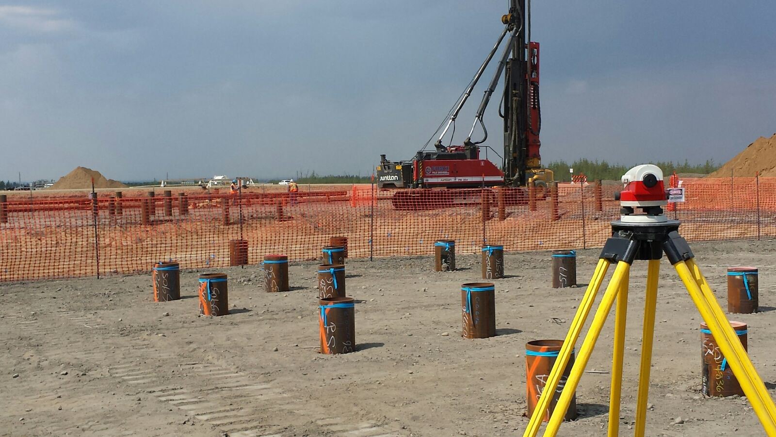
Commercial and Industrial Site Plans

No matter how big or small the project, whether it is adding a patio to your restaurant, building an advertisement sign or expanding a warehouse, you must include a site plan that shows your development application is in compliance with the city’s rules and regulations.

The city will want to know what impact your development will have on the surrounding neighbourhood. For example, the city will want to know how your customers will access your business so it can measure the impact on traffic flow.

Some of the requirements specific to industrial and commercial site plans include:

  1. parking & loading space requirements
  2.  right of ways
  3. roadway access & curb cuts
  4. setbacks from existing structures and property lines
  5.  landscape plans & total landscaped area
  6. public space
  7. grade elevations
  8. identification of all caveats, covenants and easements
  9. fire access plans
  10. floor area ratios/site coverage
  11. garbage collection facilities

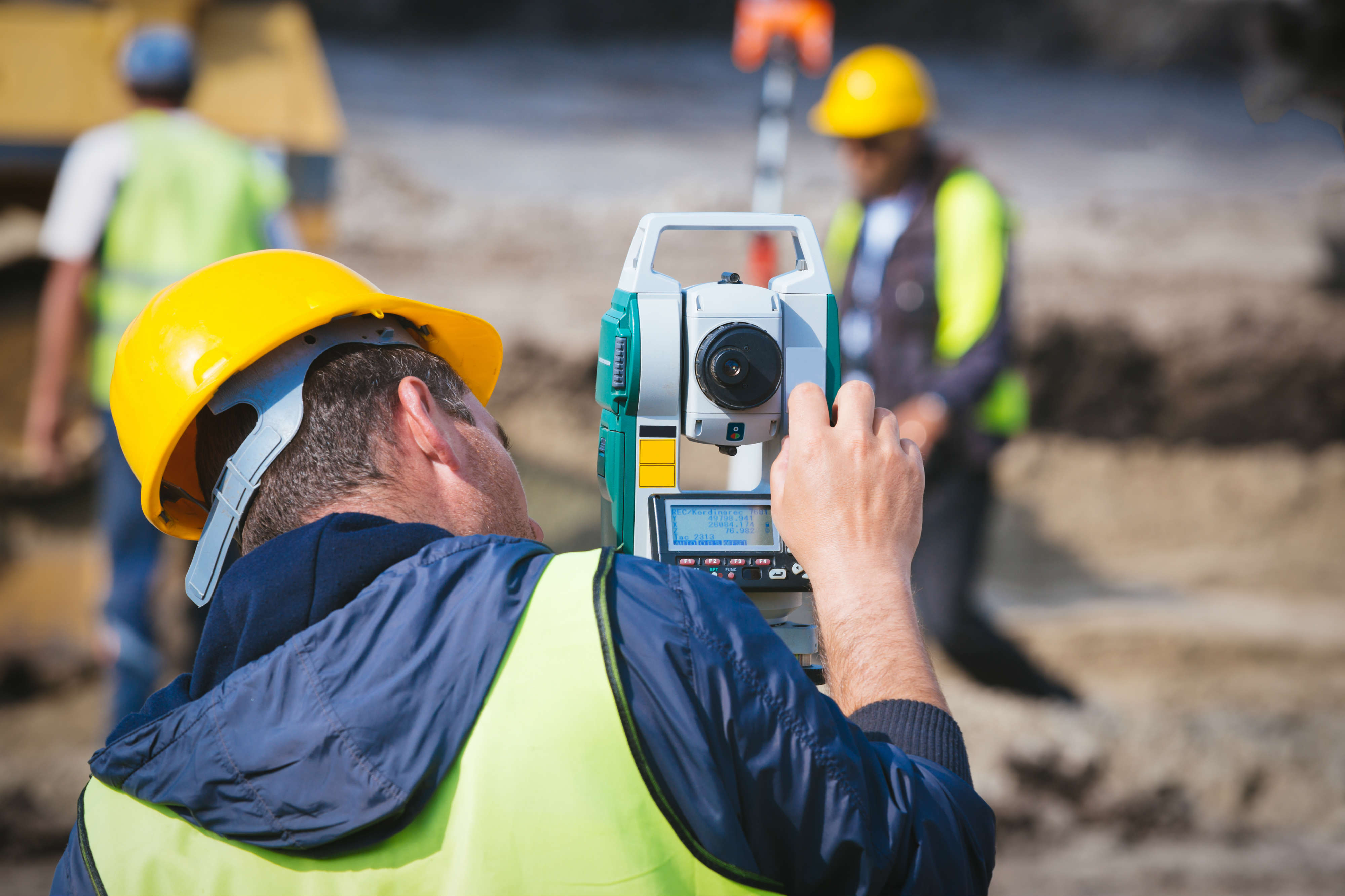
Surveyors will work with you to identify these items on your property and create a tailored site plan for your project. Surveyors will make sure your plans conform to the city’s bylaws and regulations.
The city has a checklist of items that you must include in your site plan.

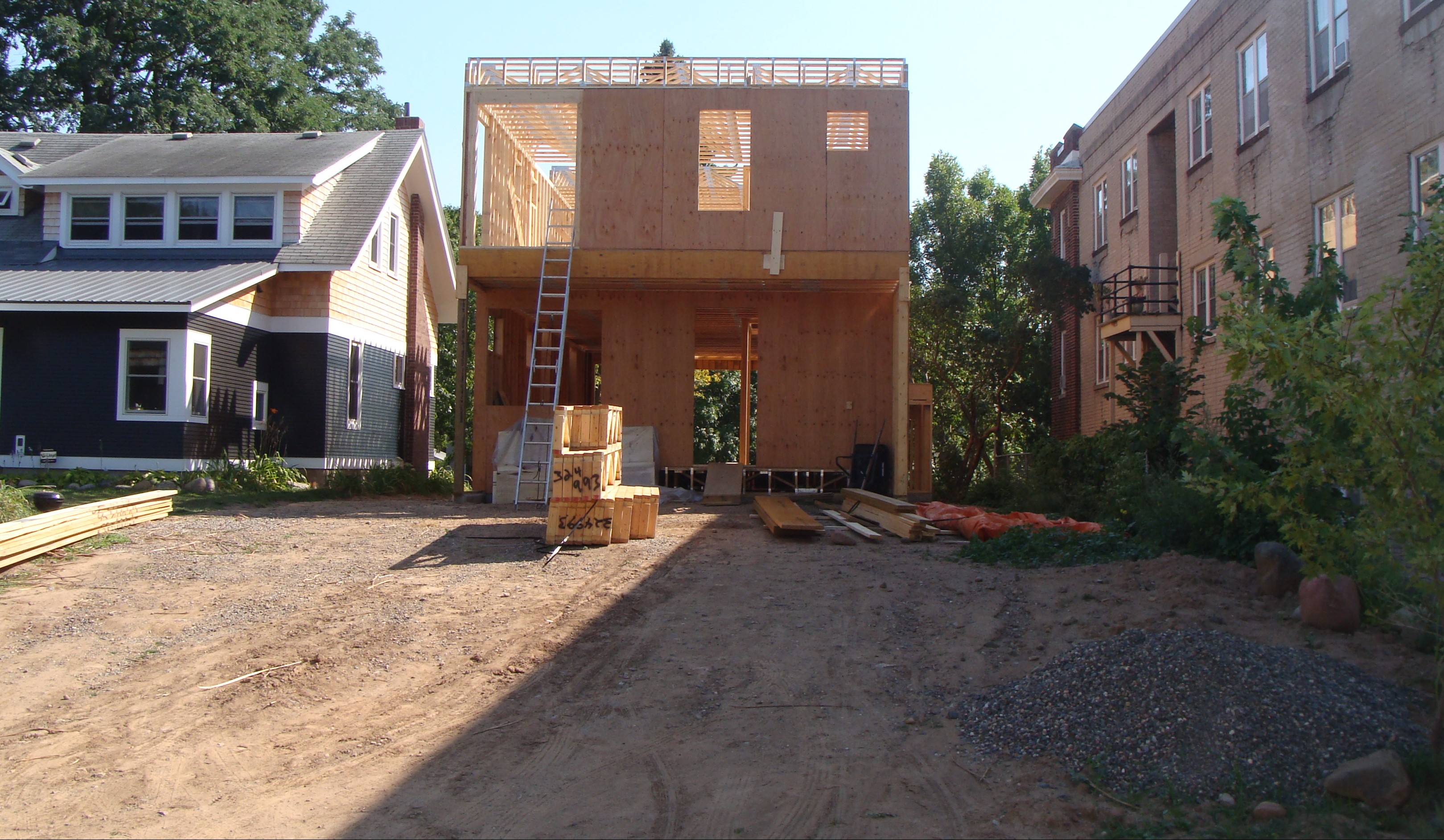
Residential Site Plans

If you are a homeowner looking to build a home from the ground up, make an addition to your home, or even simply install a hot tub, the City of Edmonton will require you to apply for a development permit. While every municipality’s requirements are different, most site plans must include:

  1. streets adjacent to your property
  2. property lines
  3. locations of existing & proposed structures
  4. grade elevations
  5. location of existing & proposed accesses to the property
  6.  identification of all caveats, covenants and easements
  7. existing & proposed landscaping

A surveyor will help you identify these items and provide an inclusive site plan for your project. To keep project costs low and on schedule it’s important to ensure your site plan conforms to local bylaws and regulations. For example, Edmonton requires you to have a permit for your hot tub!

The City of Edmonton has a convenient checklist that lets you know what you must include in your site plan. If you are doing work in your basement, the city has a separate checklist letting you know what kind of projects require a development permit.
Looking for information in Sherwood Park, St. Albert, Spruce Grove, Leduc or Fort Saskatchewan? Every municipality’s rules and regulations are different, so it’s important to check with their development officers to make sure development application conforms to their rules.

Existing and Proposed Conditions

Most site plans will require you to identify existing and proposed conditions. These give the municipality an overview of how your development will impact the area around it and vice versa. Surveyors will work with you to identify these conditions while they are preparing the site plan.


No Two Municipalities are the Same

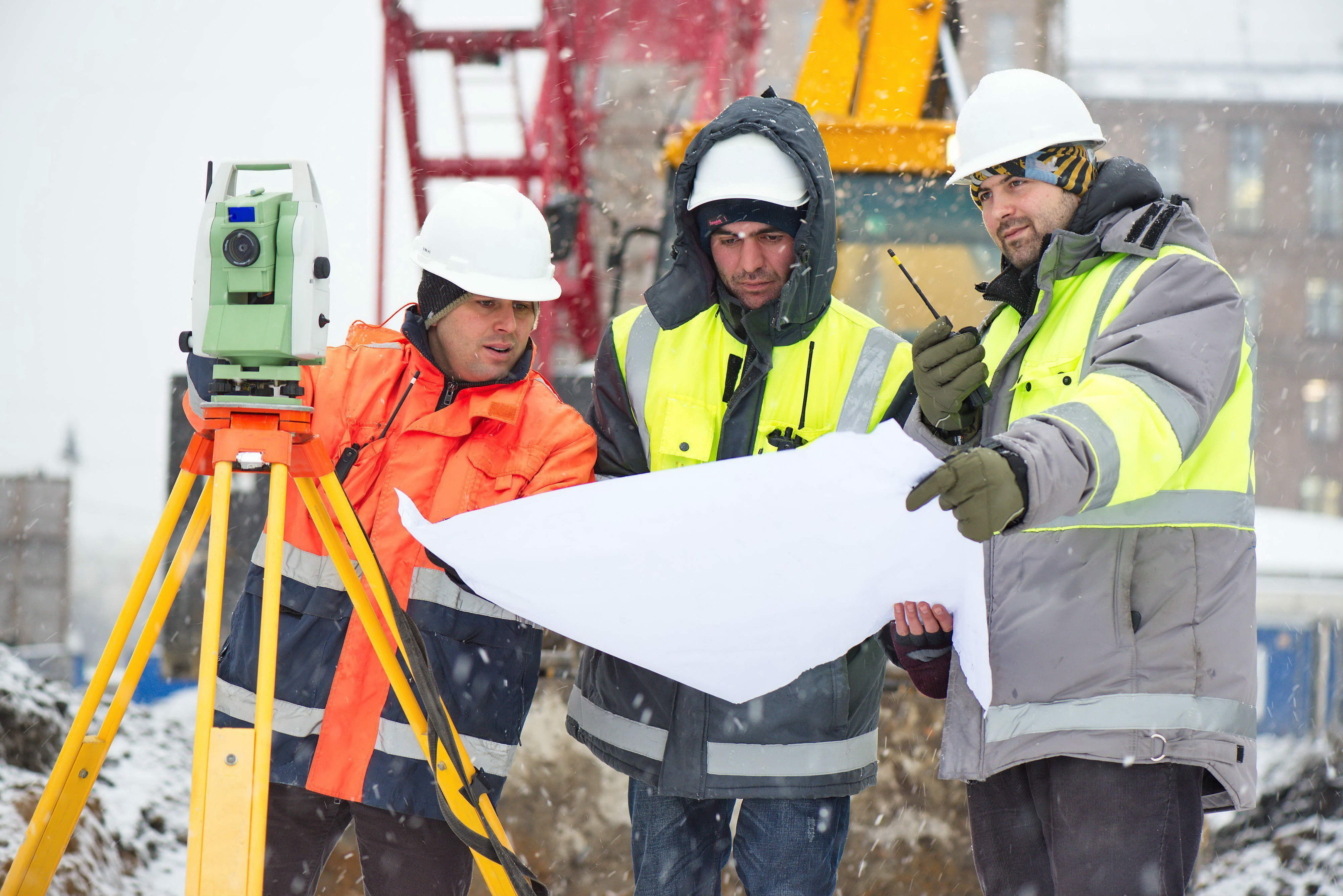
While most site plans share common elements, the requirements will vary from municipality to municipality. Some may require more details about a particular aspect of your site plan while others may not. Surveyors are familiar with the fine details and can help you navigate site plan requirements


Ready to Get Started?

LN surveyors are ready to help you bring your development to life. Simply get in touch by email, or call us at 780.306.1991 to find out more.

Aerial view of a subdivision project.

If you are planning to subdivide land, one of the first things you should do is consider hiring an Alberta land surveyor. While you are allowed to submit an application to the City of Edmonton yourself, surveyors can help keep your application on track because they have an understanding of city bylaws and regulations to help your application get processed efficiently.

What is Subdivision?

If you own one piece of land and you want to create two or more parcels with their own legal titles, you must apply for subdivision.

Why Should I Subdivide My Property?

Rural properties

It can be very difficult to sell a quarter section of land–it is much easier to section off a small area to sell for housing or other developments and rent the rest out to farming.

If you want to give land to your children, you will need to section off a part of your land as municipal bylaws may limit the number of residential structures you can build on a single land title.

Six Step Process

While subdividing land can be a complicated process, it generally follows these six steps.

  1. Apply for subdivision. This can be you or a surveyor.
  2. Receive conditional approval. This can include all taxes paid to date, a site plan of the property in its current state and include any approaches or any future road widenings.
  3. Surveyor surveys the subdivision and creates either a descriptive plan or a subdivision plan,
  4. The survey plan and paperwork goes back to you for approval and signatures.
  5. The survey plan and paperwork is submitted to the subdivision authority for approval.
  6. Once approved, the surveyor submits the survey plan and paperwork to the land titles office.

Why Use a Surveyor?

Understand the Challenges of Your Land

An experienced surveyor can help you subdivide your land efficiently and guide you on how to get the subdivision authority’s initial approval. Surveyors can also let you know if the land you are subdividing is complex and will require more time. Subdivision becomes even more complex if your land has a body of water on it. By hiring a surveyor at the start of your subdivision process, they will help you fully understand the challenges of your land.

Subdivision Applications Take Time

Once you submit your application to the City of Edmonton, it can take up to nine weeks to get approval; the more complete and accurate your application is, the faster it can be processed. This is where surveyors come in—they can ensure your application meets all zoning bylaws and regulations and they can help you with a rezoning application if your subdivision application is not compliant.

Get Faster Approvals in Winter

To speed up the process, start your application during winter. By starting in the off season, you can shorten your wait times for conditional approvals and consents as municipalities see fewer subdivision applications during this time of year. If you are planning to sell your land in the spring, subdividing it during winter ensures you are ready when the snow melts and can get a head start.

Be Ready to Submit Additional Documents

In some cases, the subdivision authority may require a Real Property Report or a site plan be done to show where existing buildings, right of ways, and sewer facilities are located and their setback distances to the new boundaries. If needed, surveyors can help you with boundary surveys, environmental assessments, topographic surveys, right of way surveys, and more.

Your Approval May Come With Conditions

Once your application is reviewed by the subdivision authority, they may request changes to your application, which are called conditions. These can be anything from setting aside enough municipal reserve for roadways and utilities or setbacks from existing structures before your application is approved. When your plan is adjusted to meet the authority’s conditions, they will review it again before approving it.

Hire a Surveyor Today

Whether you are splitting a lot into two, or building a condominium complex with hundreds of units, surveyors can help you put your application together. While you can save money by completing the application yourself, surveyors can anticipate issues and they understand municipal bylaws. This knowledge means they can help your application get approved as quickly and efficiently as possible.

LN Land Developments has expert surveyors ready to help you with your subdivision application. Contact us to get started today.

Have a professional surveyor provide you with your compliance certificate.

A compliance certificate is a legal document issued by the City of Edmonton that certifies that all buildings and structures on your property meet the city’s zoning regulations and bylaws, and that they have the appropriate development permit. If there is any part of your property that is not compliant with zoning bylaws, or does not have the appropriate permits, the city will let you know what is wrong and what actions are available to you.

Compliance Certificates Serve Many Purposes

There are many reasons to get a compliance certificate. One of the most important reasons is the ability to successfully sell your property. While there is no legal requirement for you to have one, buyers, lawyers, lending institutions, and others will request a copy of it. Without it, they can delay or deny the sale of your property.

There are many other reasons to apply for a certificate. If someone wants to challenge the legality of your property, the compliance certificate will protect you because it proves your property was independently surveyed and reviewed by a city development officer.

Apply Online for Compliance Certificate

If you applied for a compliance certificate in the past, you probably submitted a paper application. The City of Edmonton recently made changes to this process and made it easy to submit your application online. Once your application is received, the city will work with your surveyor to obtain the appropriate documents like a Real Property Report, which is a requirement for your application.

Once the city has reviewed your request, a compliance letter will be emailed to you letting you know if your property and the buildings within your property comply, or if there are changes that need to be made.

Real Property Reports will no longer be “stamped” with approval from the city. Each Real Property Report, compliant or not, will come with a compliance letter.

If you prefer applying for the certificate the old fashioned way, the city continues to accept applications by mail. Simply print a copy of the paper form and return it to the Sustainable Development office. Unlike the online application, you must include two original copies of your Real Property Report and the land titles certificate as the city will not contact the surveyor on your behalf in this case. Once completed, the city will either call you for pickup of the documents or mail them out to you.

Don’t Forget to Get a Real Property Report

Definition

A Real Property Report is a legal document that shows accurate locations and dimensions of improvements, such as buildings, and their relationship to the property’s boundaries. Real Property Reports can also show the location of any rights-of-way or encroachments that may affect the subject’s property.

Benefits

Real Property Reports protect your investment. They are a transparent document that shows you the exact condition of the property which can help protect you from certain legal liabilities.

Only Surveyors Can Help You Prepare Real Property Report

Registered Alberta Land Surveyors are the only individuals who can legally prepare Real Property Reports. A valid Real Property Report must bear the original signature and permit stamp of the Alberta Land Surveyor. The City of Edmonton requires that all Real Property Reports be completed by an independent Alberta land surveyor.

Helpful Information Comes With Your Certificate

When the City of Edmonton issues a compliance certificate, you now receive easy-to-read information about how to make any non-conforming parts of your property compliant with city bylaws and regulations. This can be especially useful when you are applying for different city permits or establishing a fair value for your property.

Compliance Certificates Cost a Nominal Fee

Fees for compliance costs can add up depending on how quickly you want your certificate and whether you need it for a residential or commercial property. If you need a compliance certificate within three days, you must fill out the Additional Fees for Express Compliance form. Otherwise, it can take up to 10 business days for your compliance certificate to be processed.

Getting a compliance certificate is easy with the help of LN’s team. They can create the Real Property Report you need for your compliance certificate application and help you through the application process. For more information about costs, contact us to get started or visit our residential estimates page for more details.

PRIVACY POLICY   |   © 2026 LNLDT. ALL RIGHTS RESERVED