Aug 25, 2016
How to Deal with Shrinking Stockpiles (For the Last Time?!)
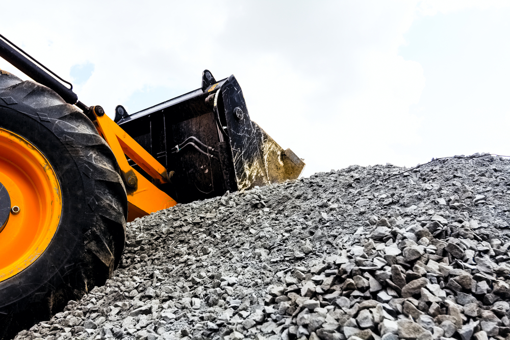
Whether you’re selling gravel, topsoil, coal, or rip-rap, accurately measuring and tracking stockpile levels is a challenge in the construction and oil and gas industries.
Sophisticated new technology makes it easier and faster to determine the volume of material stockpiles. Depending on your budget and the level of precision your project needs, you’ve got a few options when it comes to choosing a volume measuring survey.
Why Survey Your Stockpile?
A good stockpile survey will produce accurate volume calculations so you can make sure you are paid fair value for the quantities you have.
As your stockpile shrinks over time, follow-up surveys guarantee that you are working with the most up-to-date estimates of remaining stock.
GPS Surveys
A typical GPS survey is a topographical ground survey used to provide stockpile volumes. Surveyors use GPS points to measure the tops and toes of a stockpile and any changes in grade, then use this data to create a 3D model of the stockpile and estimate volume.
Pros – Less expensive, can be performed in any weather conditions.
Cons – Can be less accurate than other surveying techniques, can be time consuming if the survey needs to cover a large area.
Aerial UAV
Unmanned aerial vehicles (UAV), also known as drones, are gaining popularity in the surveying field.
Aerial photography captures detailed imagery and is used to create accurate maps for stockpile volume estimation. Infrared aerial photography is used to calculate the volume of earth or minerals in a specific area.
3D laser scanning can also be used to measure fine details and capture free-form shapes. Data output is in the form of point clouds—set of data points intended to represent the external surface of an object. The data then needs to be turned into a visual picture.
Whereas some companies only provide point cloud data files, LN always provides a visual image that can be easily shared and understood.
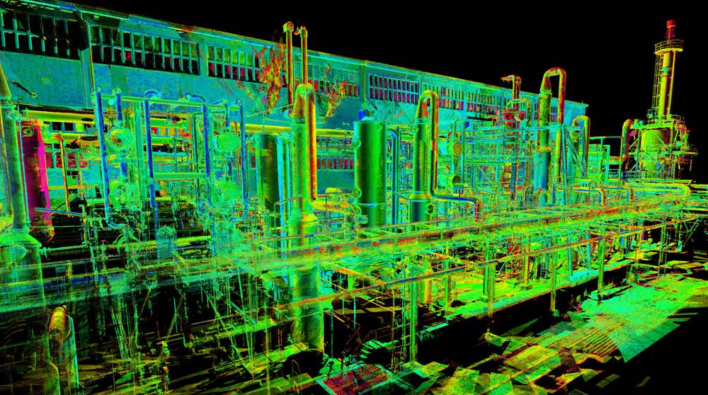
A visual representation of a point cloud dataset.
Pros – More accurate: aerial UAV flights can give you tighter and more accurate volumes due to 1cm grids. Efficient when covering large area.
Cons – The use of cutting-edge technology means UAV surveys are typically more expensive than GPS surveys. Drones are subject to government regulations and permitting.
Total Station/Scan
If GPS surveys are not accurate enough and UAV flights are too expensive then a total station/scan may be your best option. These surveys use the same techniques as the UAV surveys described above, but without the drones.
Pros – Less expensive than UAV scans because not subject to government regulations and equipment costs associated with drones. Remote surveys can be safer for surveyors.
Cons – Typically more expensive than ground surveys.
Manage Shrinking Stockpiles
Whatever your stockpile looks like in the field, you’ve got to be able to represent it accurately in the office. Whether you are adding or taking away material, the volume of your stockpiles will change over time. There are a few ways to manage and accurately track stockpile quantities:
- Regular visits using conventional surveying tools
- UAV surveys
- Scanning instruments
Ready to Get Started?
LN uses state-of-the-art equipment and sophisticated technology to make sure stockpile volumes are estimated accurately and efficiently.
With years of experience in the geomatics industry, we can advise on the best options for your budget and timeline. Get in touch by email, or call us on 780.488.9064 to find out more.