Point Cloud Processing
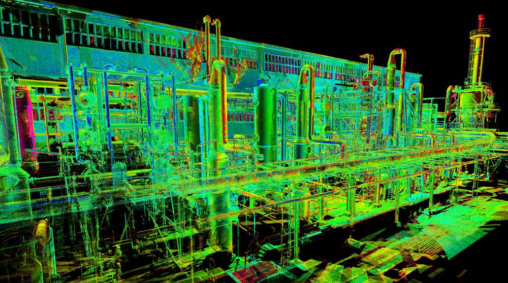
Point Clouds are a set of data points in a coordinate system. In a three-dimensional coordinate system, these points are usually defined by X,Y, and Z coordinates, and often intended to represent the external surface of an object.
Point Clouds may be created by 3D Laser Scanning. These devices measure a large number of points on an object’s surface, and often output a Point Cloud as a data file. The Point Cloud represents the set of points that the device has measured.
LN will work with our clients to help process point cloud files and provide a deliverable. It is not unusual for clients to hire a company that will only provide a Point Cloud file where as LN will work to provide a workable and visual deliverable when working with Point Clouds.
To provide this service to clients LN uses specialized software which includes, Faro Scene, Trimble Realworks, Autodesk Civil 3D, REVIT, and Navisworks
Point Cloud Processing may be used for the following applications:
- Pipe Rack Modelling and Evaluations for Expansion
- Structure Modelling
- Visual & Detailed Architecture Modeling
- Quantity Calculations
- Pre-Engineering assessments & Planning